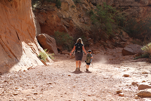
Photos > 2015 > 2015 Fall Break - Day 2 - Capitol Reef National Park (Grand Wash Narrows, Capitol Gorge (Petroglyphs, Narrows, Pioneer Register), Waterpocket Fold Drive (Notom-Bullfrog Road, Burr Trail Road), Hell's Backbone Grill (Boulder, Utah)) > IMG_7237 (Medium Size)
Next Photo
Previous PhotoPrevious Photo   
Next Photo
2015 Fall Break - Day 2 - Capitol Reef National Park (Grand Wash Narrows, Capitol Gorge (Petroglyphs, Narrows, Pioneer Register), Waterpocket Fold Drive (Notom-Bullfrog Road, Burr Trail Road), Hell's Backbone Grill (Boulder, Utah))
Image 630 of 750
Click for Full Size Image
Next Photo
   Next PhotoNext Photo
Next Photo
GPS Location: Google Map
GPS Coordinate: 38.21032,-111.165235
GPS Altitude: 5,395 feet (above sea level)
Date Taken: Friday, October 16th, 2015 - 03:31:05 PM
Filename: IMG_7237.jpg
Category: 2015 Fall Break - Day 2 - Capitol Reef National Park (Grand Wash Narrows, Capitol Gorge (Petroglyphs, Narrows, Pioneer Register), Waterpocket Fold Drive (Notom-Bullfrog Road, Burr Trail Road), Hell's Backbone Grill (Boulder, Utah))
54051